Mauritius: The Meteorological office of Mauritius has provided a thorough update about the weather conditions for Friday. The officials have also shared the update about the Tropical storm, Djoungou for the safety and benefit of the people.
As per the forecast, Djoungou was previously a tropical depression and has intensified into a Tropical storm.
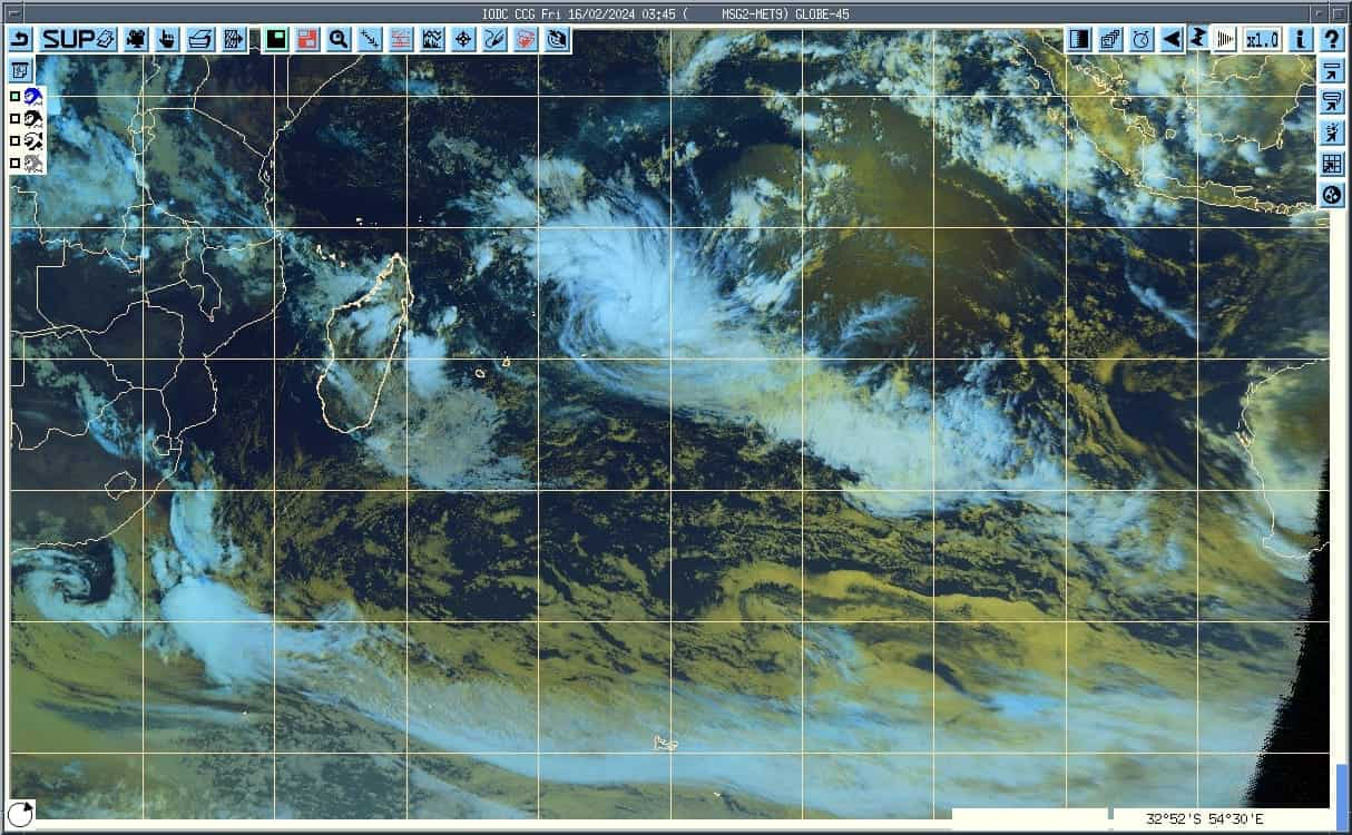
Currently, the tropical storm is located 975 km east-northeast of Mauritius. The Mauritius Meteorological Services named the tropical storm almost six to eight hours ago. The Met services continue to monitor the trajectory of the tropical storm.
The tropical storm is moving southeast at approximately 12 km/h. Forecasts predict that Djoungou will continue on this trajectory, moving away from the region. The Meteorological Service of Mauritius has confirmed that the tropical storm will not be affecting the country.
Meanwhile, despite the storm’s distance, Mauritius is experiencing hot and humid conditions. Friday’s weather is expected to be mostly fine, with occasional showers in elevated areas. The maximum temperature will be 2 degrees Celsius above normal.
Maximum Temperatures for Central Plateau: 27-29 degrees Celsius
Maximum temperature for Coastal Region: 31-34 degrees Celsius.
The meteorological office warned that the sky will be cloudy with a possibility of showers in the night. The weather will affect particularly the east, south, and central plateau regions of Mauritius.
Minimum temperatures for the central plateau: 21-23 degrees Celsius.
Minimum Temperature in coastal regions: 25-27 degrees Celsius.
The wind speed blowing from the east-southeast at 10 to 20 km/h. The Met Office warned that the sea is rough beyond the reefs with waves around 2 meters high.
The time for High tides: 22h11 and tomorrow 23h30.
The time for Low tides: 12h35 and tomorrow 15h44.
Sunrise: 06h01.
Sunset: 18h46.
The island nation situated in the southern Indian Ocean is currently at the peak of its cyclone season. The season is likely to peak in December to March.